File:Satellite image of Eswatini with borders and labeling (false color photography).png
Jump to navigation
Jump to search

Size of this preview: 800 × 527 pixels. Other resolutions: 320 × 211 pixels | 640 × 422 pixels | 992 × 654 pixels.
Original file (992 × 654 pixels, file size: 1.31 MB, MIME type: image/png)
Summary
| Description |
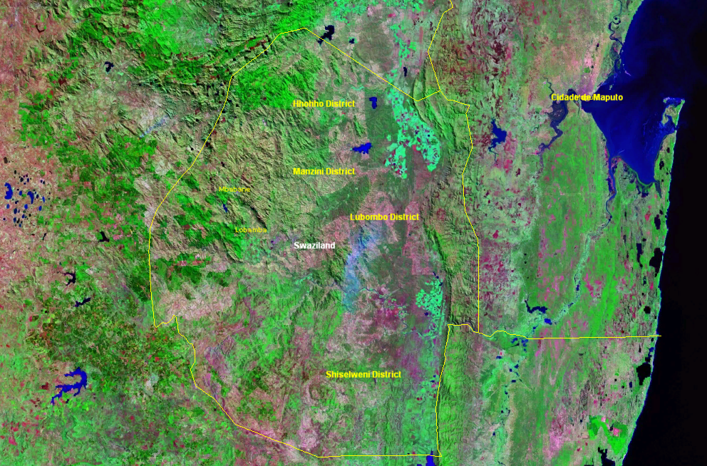
English: Eswatini satellite image with borders and labeling (false color photography)
Deutsch: Eswatini-Satellitenbild mit Grenzen und Beschriftung (Falschfarben-Fotografie) |
| Date | 21 March 2006 (upload date) |
| Source | Satellite imagery taken from NASA World Wind software (by screenshot) |
| Author | NASA |
Licensing
| This image is in the public domain because it is a screenshot from NASA’s globe software World Wind using a public domain layer, such as Blue Marble, MODIS, Landsat, SRTM, USGS or GLOBE.
|
 |
File history
Click on a date/time to view the file as it appeared at that time.
| Date/Time | Thumbnail | Dimensions | User | Comment | |
|---|---|---|---|---|---|
| current | 05:08, 21 March 2006 | | 992 × 654 (1.31 MB) | wikimediacommons>Roke~commonswiki | swaziland satellite image {{PD-WorldWind}} Category: Swaziland |
File usage
The following 3 pages use this file:
.png)